Research on Conservation Halton Lands
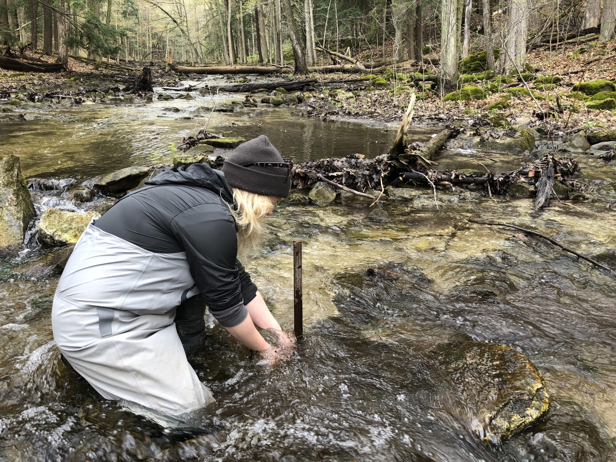
Conservation Halton invites responsible research on our lands. As the steward of over 10,000 acres with diverse natural and cultural landscapes, research activities help us understand watershed conditions and trends. This informs our management, planning and operational practices.
Conservation Halton uses and provides research data to inform management decisions related to natural features and natural hazards within our watersheds. If you are interested in conducting research on Conservation Halton lands, please apply for a research permit using the online form below.
Applicants are encouraged to contact Conservation Halton before submitting a research permit application. For technical support, general questions about the application process, or application status, please contact researchpermits@hrca.on.ca.
Data sharing with Conservation Halton is a standard condition of all research permits.
Data received from researchers conducting projects on Conservation Halton lands deepens our understanding of the physical characteristics and processes that shape our landscape and supports the assessment of conditions, trends, and risks.
Conservation Halton provides watershed-wide data related to regulatory mapping, land use planning, flood forecasting and warning, environmental monitoring, terrestrial and aquatic ecology, stewardship, parks operations, and other related business activities. Researchers may use Conservation Halton’s data holdings to help inform their baseline information gathering and to create mutually beneficial research partnerships.
Questions? Please contact researchpermits@hrca.on.ca.